-
 ×
- Accueil
- Impressions d'art ▸
- Peintres ▸
- Catégories ▸
- Style d'art ▸
- Cadre photo ▸
- Presse écrite ▸
- Tous les supports d'impression
- Toile Leonardo (satin)
- Toile Salvador (mate)
- Toile Raphael (mate)
- FineArt Photo matte
- FineArt Photo satiné
- FineArt Photo baryté
- FineArt Photo brillant
- Aquarelle Carton Munch
- Aquarelle Carton Renoir
- Aquarelle Carton Turner
- Aquarelle Carton Dürer
- Natural Line Hemp
- Natural Line Rice
- Kozo White, 110g
- Kozo Natural, 110g
- Inbe White, 125g
- Unryu, 55g
- Bamboo, 110g
- Premio Unryu, 165g
- Murakumo Natural, 42g
- Bizan Natural, 300g
- Bizan White, 300g
- Composite en aluminium 3mm
- Verre acrylique 5mm
- Commander un jeu d'échantillons
- Quel support d’impression convient ?
Toile
Papier photo
Carton aquarelle
Natural Line
Papier japonais
Médias spéciaux
Informations supplémentaires
- Aide et service ▸
- Contactez-nous
- Vendez votre art
- Questions fréquentes
- Postes à pourvoir
- Réclamation
- Commander des échantillons
- Commander des bons
- Frais de livraison
- Temps de production
- Durabilité
- Recherche d'image
- Demandes spéciales
- Qui sommes-nous ?
- Politique tarifaire
- Politique d’entreprise
- Engagement qualité
- Distinctions
- Châssis entoilé
- Passe-partout
- Cadres décoratifs
- Vitrage
- Filets
- Systèmes de fixation
- Supports d'impression
- Conseils d’entretien
- Mention légales
- AGB
- Confidentialité
- Droit de rétractation
Infos et services
Informations supplémentaires
Bon à savoir
Information légale
- Boutique ▸
- Contact





 Voir en 3D / AR
 Ajouter aux Favoris
 Sélectionnez la couleur des murs
 Vue de la peinture dans une pièce
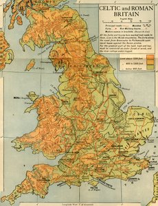
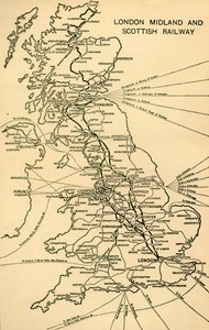

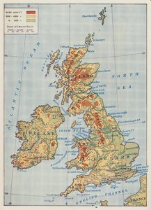
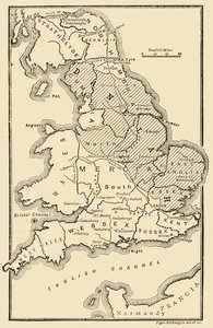
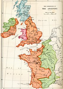

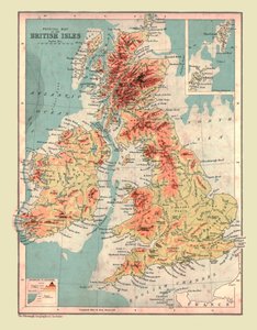
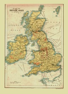
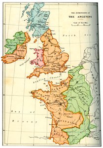
.jpg "Carte de Grande-Bretagne montrant les dominions de Guillaume le Conquérant, c.1087, de l")
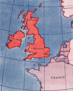
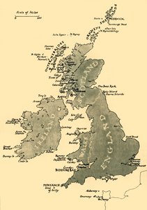
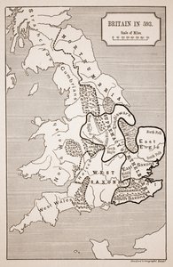
.jpg "Carte de la Grande-Bretagne en 658, produite par Stanford")

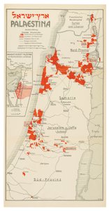
 Bz - (MeisterDrucke-677478).jpg "Colonies en 1938 autour de Łódź entre les rivières Warta (W), Bzura (N) et Pilica (SE)")

.jpg "Église et cottage aux fenêtres éclairées")

.jpg "Portrait du roi Richard III")
 c1740-50 - (MeisterDrucke-77045).jpg "Kidbrooke Park, Kent, anciennement attribué à George Lambert (1700-65) c.1740-50")
.jpg "Carte détaillée de la péninsule de Gallipoli et des Dardanelles, Turquie, 1915, tirée de «The War Illustrated Album deLuxe», publié à Londres, 1916")
.jpg "Carte du monde avec les possessions de l")
.jpg "Bateaux de pêche sur la plage des Saintes-Maries-de-la-Mer")
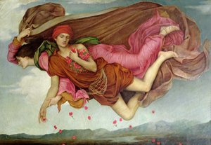
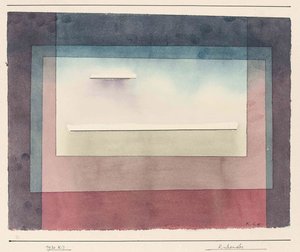
.jpg "Solitude, 1843")
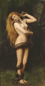
.jpg "Una et le lion, de La Reine des fées de Spenser, 1880")
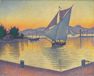
.jpg "Le Téméraire remorqué à son dernier mouillage pour être démantelé, 1839")

 +43 4257 29415
 support@meisterdrucke.com
 Mo-Do: 7:00 - 16:00 | Fr: 7:00 - 13:00