-
 ×
- Accueil
- Impressions d'art ▸
- Peintres ▸
- Catégories ▸
- Style d'art ▸
- Cadre photo ▸
- Presse écrite ▸
- Tous les supports d'impression
- Toile Leonardo (satin)
- Toile Salvador (mate)
- Toile Raphael (mate)
- FineArt Photo matte
- FineArt Photo satiné
- FineArt Photo baryté
- FineArt Photo brillant
- Aquarelle Carton Munch
- Aquarelle Carton Renoir
- Aquarelle Carton Turner
- Aquarelle Carton Dürer
- Natural Line Hemp
- Natural Line Rice
- Kozo White, 110g
- Kozo Natural, 110g
- Inbe White, 125g
- Unryu, 55g
- Bamboo, 110g
- Premio Unryu, 165g
- Murakumo Natural, 42g
- Bizan Natural, 300g
- Bizan White, 300g
- Composite en aluminium 3mm
- Verre acrylique 5mm
- Commander un jeu d'échantillons
- Quel support d’impression convient ?
Toile
Papier photo
Carton aquarelle
Natural Line
Papier japonais
Médias spéciaux
Informations supplémentaires
- Aide et service ▸
- Contactez-nous
- Vendez votre art
- Questions fréquentes
- Postes à pourvoir
- Réclamation
- Commander des échantillons
- Commander des bons
- Frais de livraison
- Temps de production
- Durabilité
- Recherche d'image
- Demandes spéciales
- Qui sommes-nous ?
- Politique tarifaire
- Politique d’entreprise
- Engagement qualité
- Distinctions
- Châssis entoilé
- Passe-partout
- Cadres décoratifs
- Vitrage
- Filets
- Systèmes de fixation
- Supports d'impression
- Conseils d’entretien
- Mention légales
- AGB
- Confidentialité
- Droit de rétractation
Infos et services
Informations supplémentaires
Bon à savoir
Information légale
- Boutique ▸
- Contact






 Voir en 3D / AR
 Ajouter aux Favoris
 Sélectionnez la couleur des murs
 Vue de la peinture dans une pièce
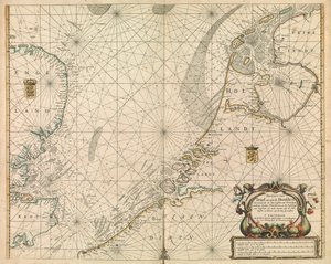
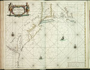

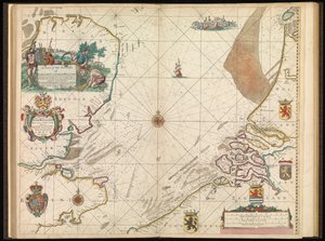
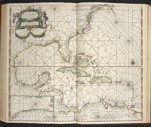
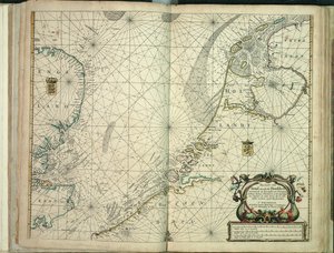
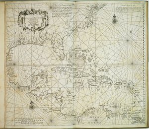

.jpg "Le pilote anglais le premier livre : décrivant la navigation nordique, c.1671")
 published in Amsterdam 1683 (hand coloured engraving) - (MeisterDrucke-115315).jpg "Amérique, planche 17 de")
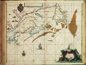
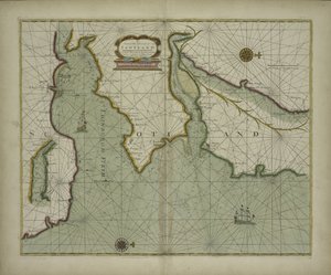
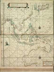
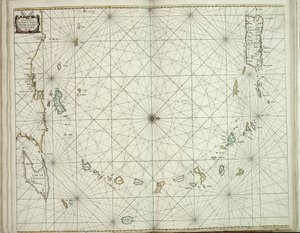
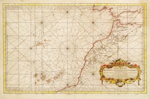
.jpg "Carte Réduite des Côtes Occidentales d")

.jpg "Embouchure de la Loire")
 - (MeisterDrucke-670164).jpg "Carte antique du Canal, 1666 (gravure en couleur)")
.jpg "Carte de la collection cartographique de la Bibliothèque nationale. La carte a été publiée à et montre la côte norvégienne, Agder, Rogaland")
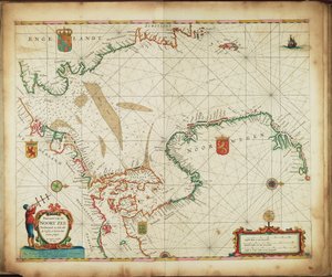
.jpg "Nouvelle carte graduée et élargie de l")

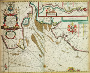
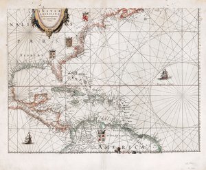
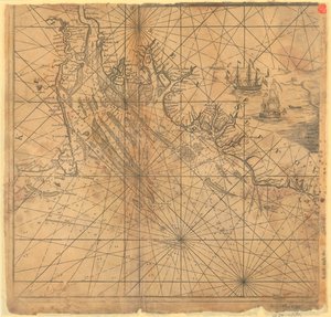
.jpg "Typus maritimus Groenlandiae, Islandiae, Freti Davidis, Insulae Iohannis Mayen et Hitlandiae, Scotiae et Hiberniae litora maritima septentrionalia")

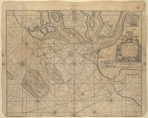
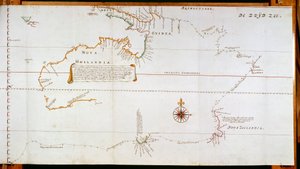
.jpg "Terrarum Orbis Tabula, d")
.jpg "Plaque avec un paysage de chinoiserie et des détails dorés, vers 1680")
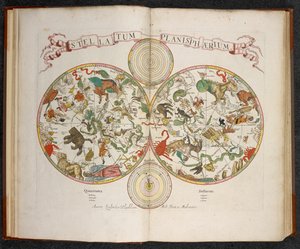
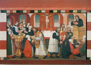
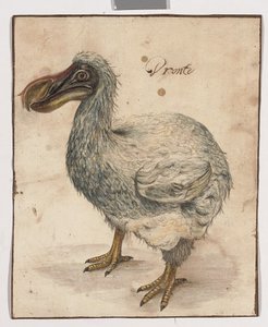
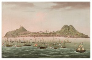
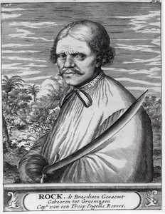
.jpg "Miracle de Notre-Dame de Nazaré. Église Notre-Dame de Nazaré (Largo Nossa Senhora da Nazaré). Portugal.")

 - (MeisterDrucke-103966).jpg "Carte du détroit de Magellan, Patagonie")
.jpg "Le roi Alvaro Ier du Kongo recevant les ambassadeurs néerlandais, illustration de la «Description de l")
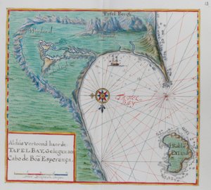

.jpg "Le Printemps, d")
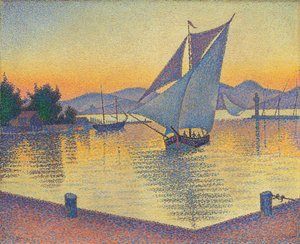
.jpg "Une tempête dans les montagnes Rocheuses, mont Rosalie")
 - (MeisterDrucke-153135).jpg "Chat dans un arc-en-ciel")
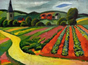
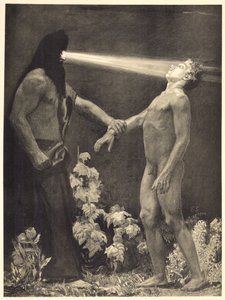
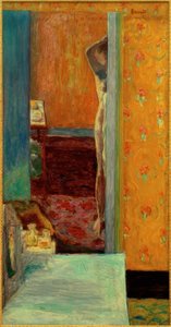
.jpg "Un point de vue, 1895")
.jpg "Arbre rouge")
.jpg "Vue vénitienne avec l")


 +43 4257 29415
 support@meisterdrucke.com
 Mo-Do: 7:00 - 16:00 | Fr: 7:00 - 13:00